Best things to do in the area
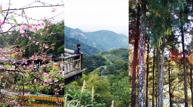
The Maolin Area has the trek along trails where visitors can watch eagles hunt, see indigenous villages, go to the hot-spring for a soaking, try some butterfly-watching, and admire the magnificent mountain scenery.
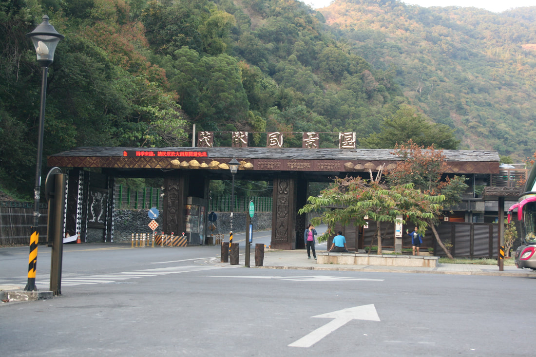
Maolin/Duona
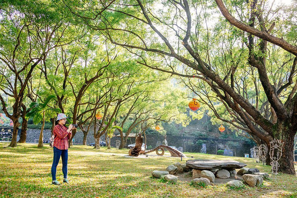
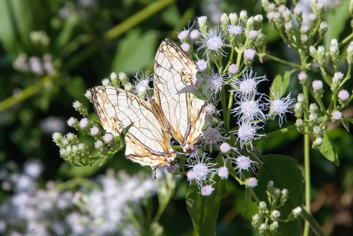
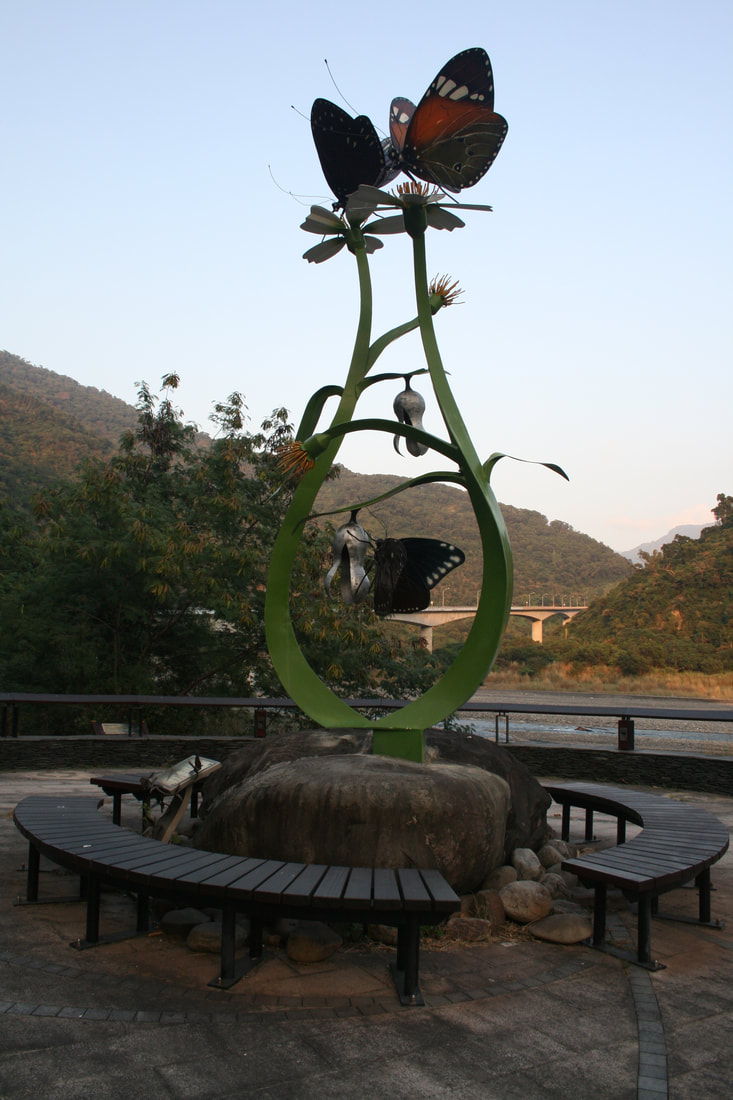
The Maolin Area is the only place in the world where traffic signs have been set up to protect butterflies. Maolin Ecological Park is situated on a low mountaintop dramatically overlooking Maolin village. Take the free guided tour through the visitor centre which has solid displays (with English) on the region’s butterflies, the guides provide so much more and they can show you the best sites to spot the butterflies. When disturbed by visitors the butterflies often look just like dark leaves on branches when still, but burst into flight en masse in such a dense, visually dramatic spectacle.
Butterfly Watching in Maolin
The Maolin Area is one of only two overwintering butterfly valley areas in the world, the other being Mexico's Monarch Butterfly Valley. The southern mountains provide winter nesting grounds during Chinese Taipei’s short but, at times chilly, winter season for the Purple Crow Butterfly, which at other times can be found throughout the island. When the northeastern winter winds arrive in northern Chinese Taipei in late autumn, millions of Purple Crows – like migratory birds – move to the south and gather in the valleys. Visitors can view four subspecies: Dwarf Crows, which account for almost 75% of Maolin’s population and may total one million at times; Double-branded Black Crows, which make up much of the rest; Striped Blue Crows; and Blue-banded King Crows.
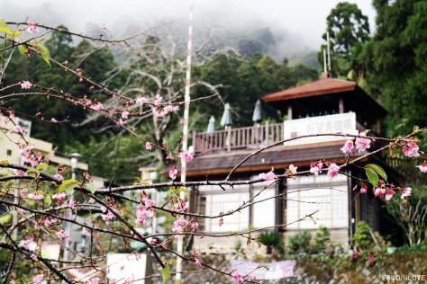
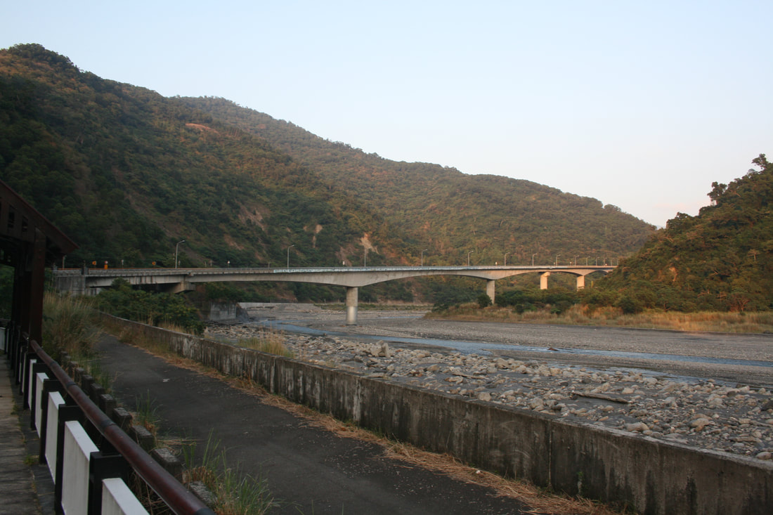
Between Maolin and Duona, follow the twisting highway high above the serpentine Zhoukou River, suddenly presented as the Maolin Area’s single greatest visual. Far below is the sparkling-white Duona Bridge, leaping the riverbed, with a giant steel-frame eagle guarding one end. At stage-right is the “head” of Dragon Head Mountain, said to be spitting out a “pearl,” a mountain-ridge section the river has sliced its way around. High on stage-left is the soaring Duona Suspension Bridge, leaping a deep chasm. Finally, stage-rear and moving right-left atop of the crouching dragon’s spine is the attractive, easy-grade Dragon Head Mountain Trail. Accessed via a highway-side parking lot, a boardwalked pathway leads to the suspension bridge, the madly twisting river on both sides of the trail.
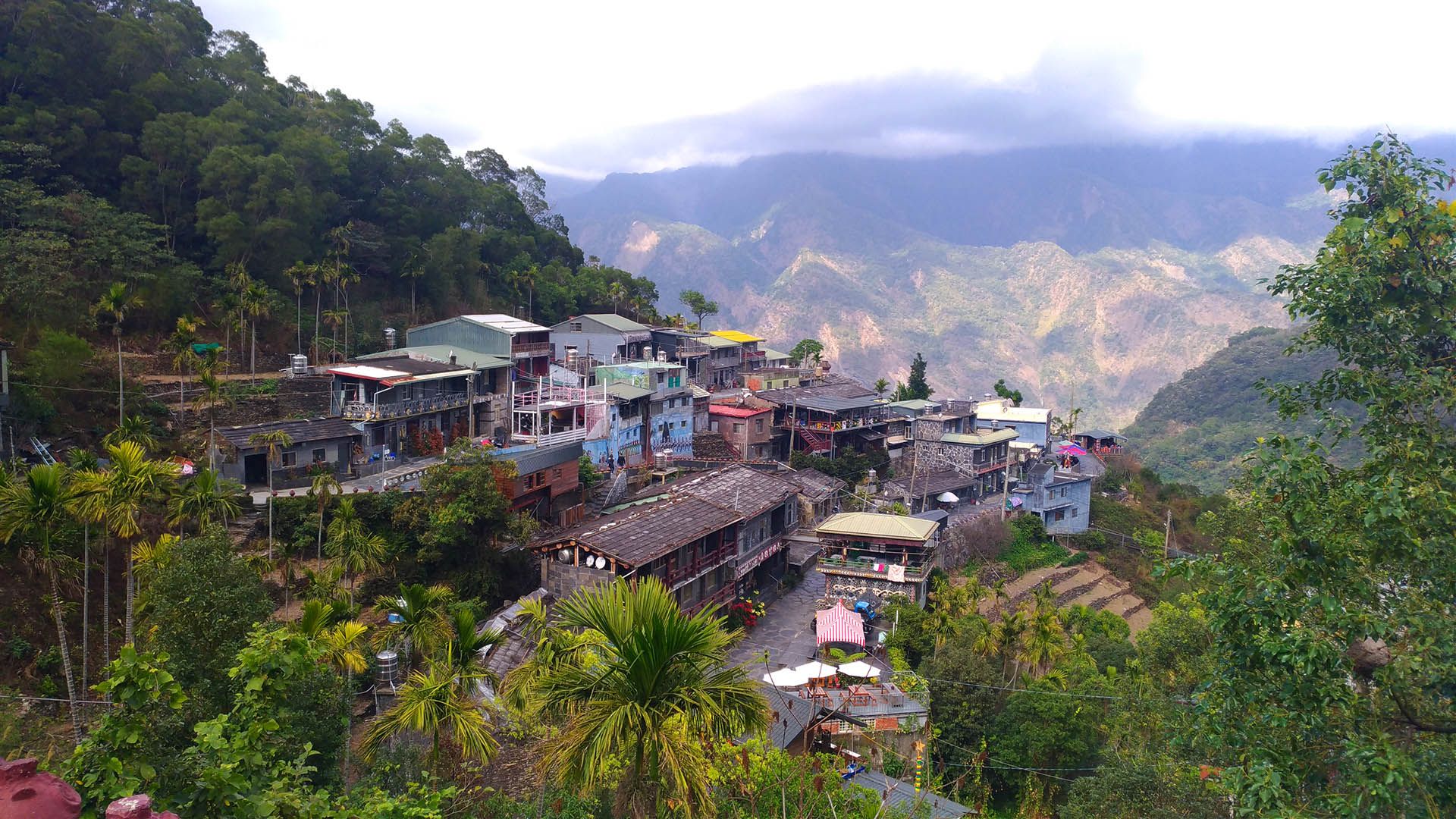
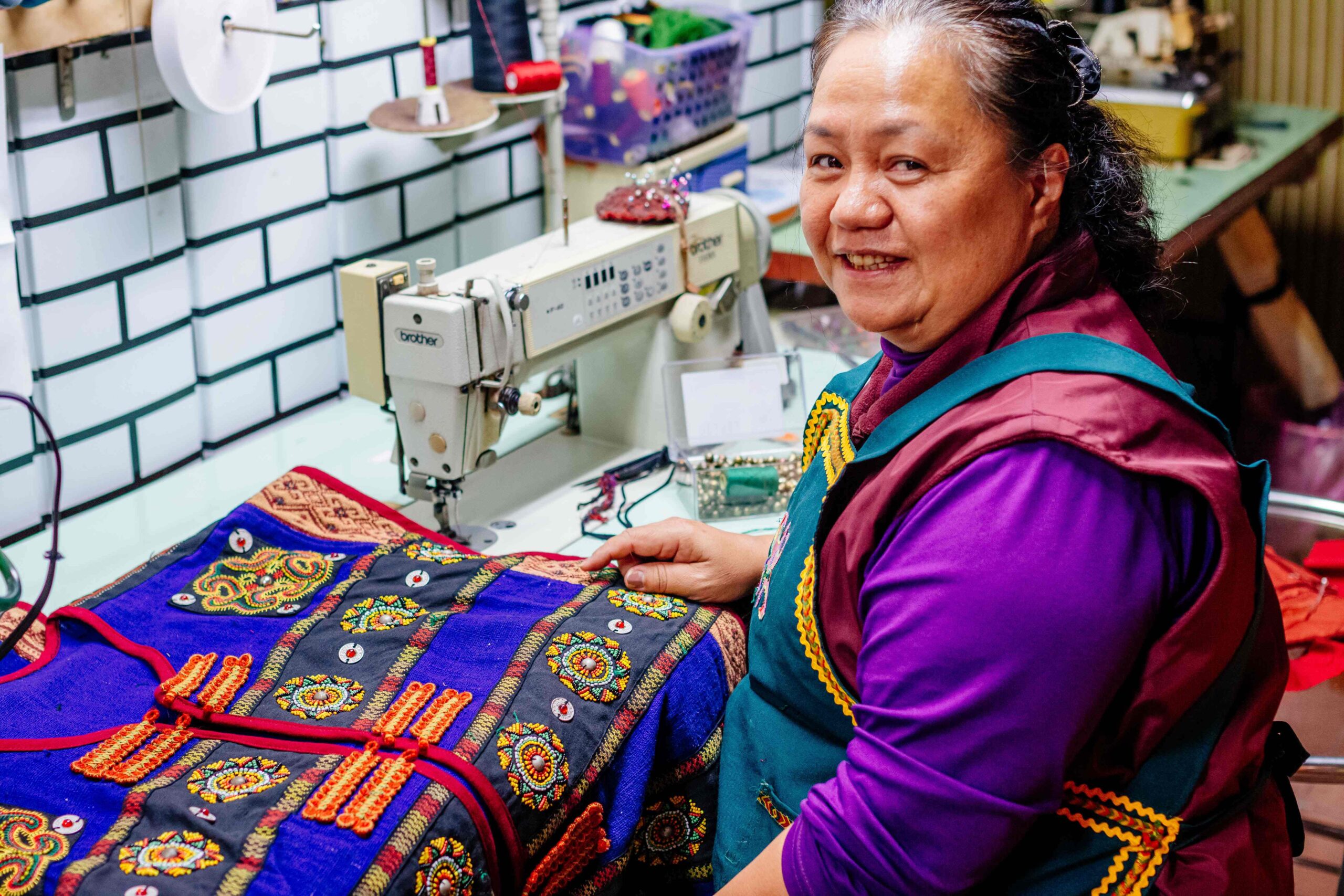
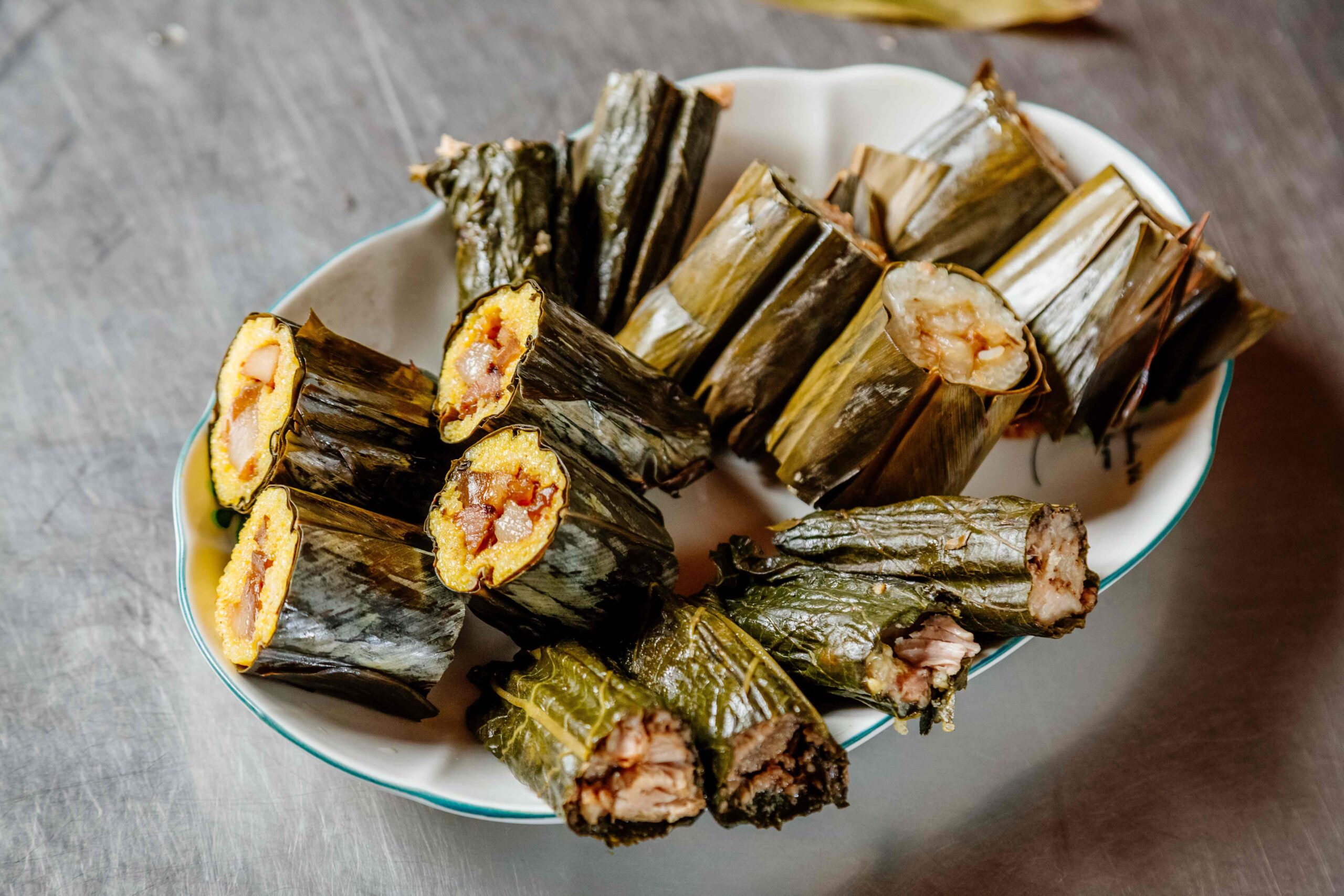
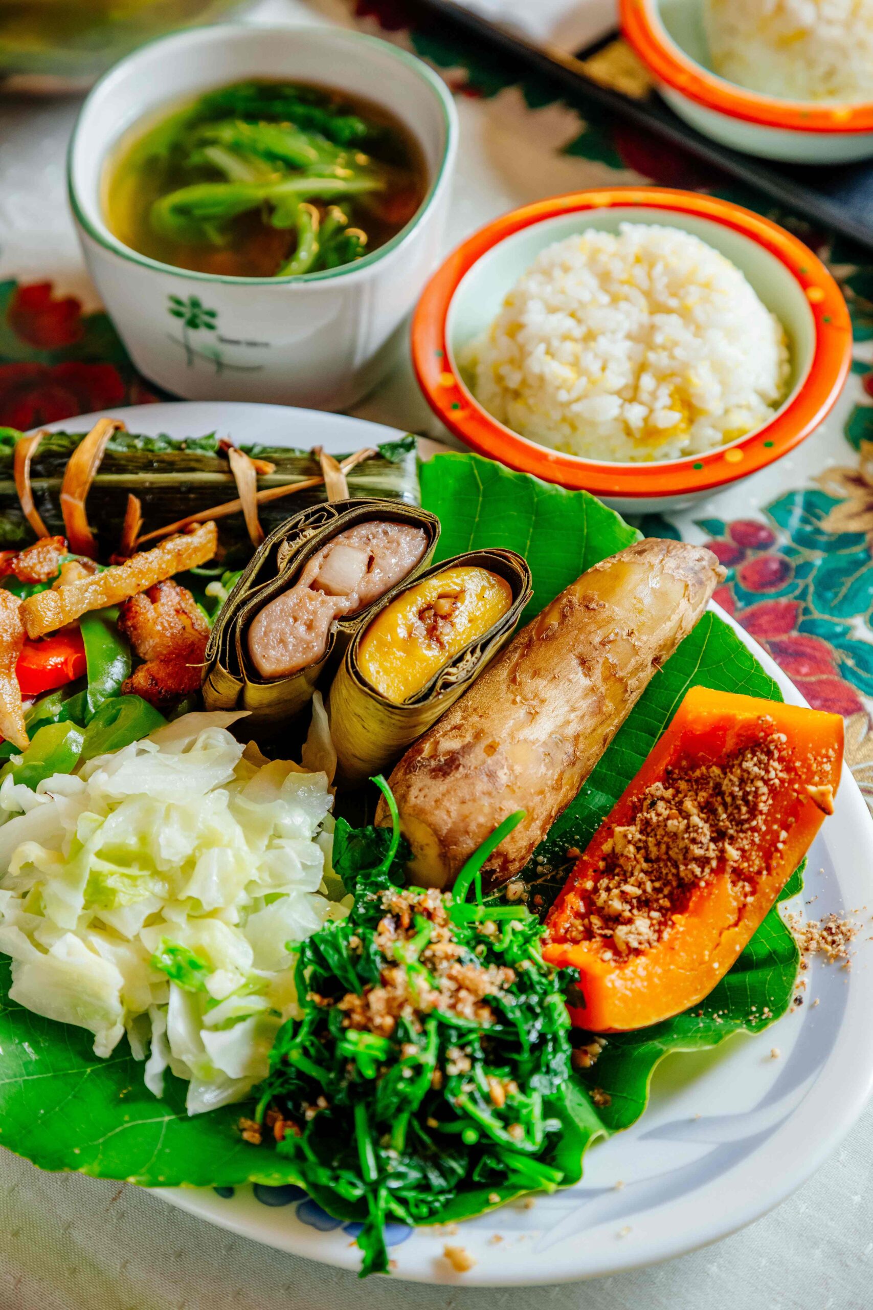
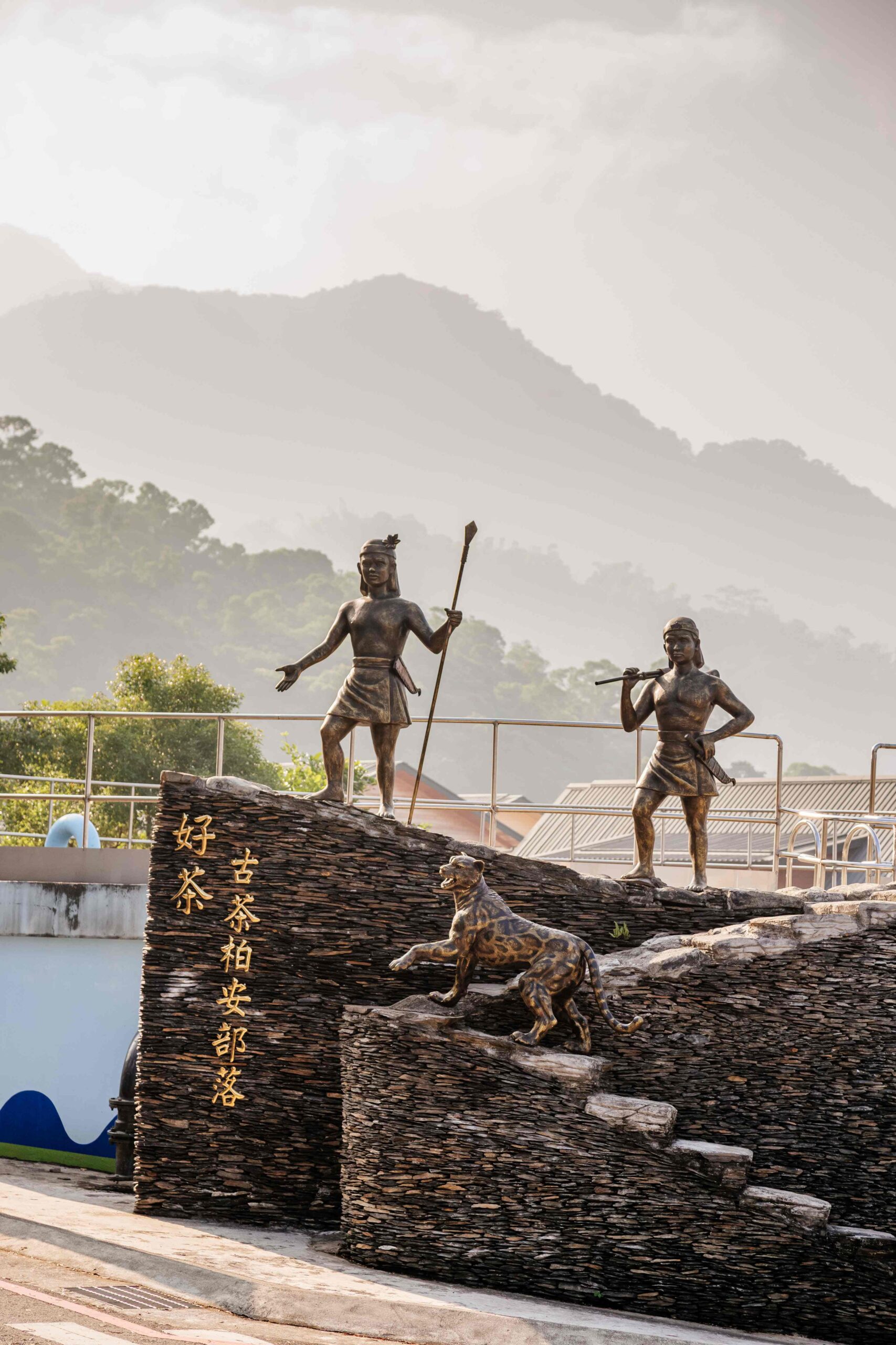
After travelling high into the mountains, you can descend into Duona, nestled on a plateau between two high mountains along what is obviously, from afar, an ancient river channel, a deep-dug tributary of the Zhuokou beyond and below, out of sight. The quiet, tourist-friendly village is not much more than a single street with offshoots. Buy delicious indigenous-style stone-grilled meats and sausages at two outlets. The first building on the right is the Yishanmu Duona Café, in a splendid extra-large slate building, offering indigenous handicrafts, coffee, partly made with beans grown in the area, and a beloved Chinese Taipei cold treat called aiyu jelly, made from the gel surrounding aiyu fig seeds, the fruit commonly gathered by brave young indigenous men climbing tall trees.
Beyond the village entry-point, signs lead visitors to the initially steep yet pleasant Duona Warriors’ Trail, from which high-on views of village life are presented. Along the short, wide trail are replicas of traditional structures where, long ago, warriors placed their status-enhancing hunted heads, stored hunted meats, and called out their illustrious deeds.
Bulao/Baolai
On the drive up the Laonong River valley from the Maolin to the Bulao/Baolai area, along Provincial Highway 27, there are more shade trees, temples, and farm-hamlet attractions. Though this places you across from the 18 Arhats Mountains, running parallel to Highway 27A, a renowned nature reserve with 72 peaks.
The valley narrows where the 27 crosses the Laonong to link with the 20, becoming more picturesque. Unlike the rugged Maolin/Duona and Sandimen/Wutai valley areas, there is a long, gently undulating riverside plateau strip here, nicely quilted with compact, well-tended farm fields and orchards.
The Pulaixitou Tribe Historic Battle Trail is just outside Baolai. About 1.5km long one-way it past a plum-tree orchard in snow-white bloom, thick-cluster bamboo forest, and into a clearing atop a mountain-spur ridge with picture-perfect river-valley views. It is possible to be almost face-to-beak with the largest eagle, not 10 metres away, riding the updraft.
Suluopo Special Zone 59 Eco Trail
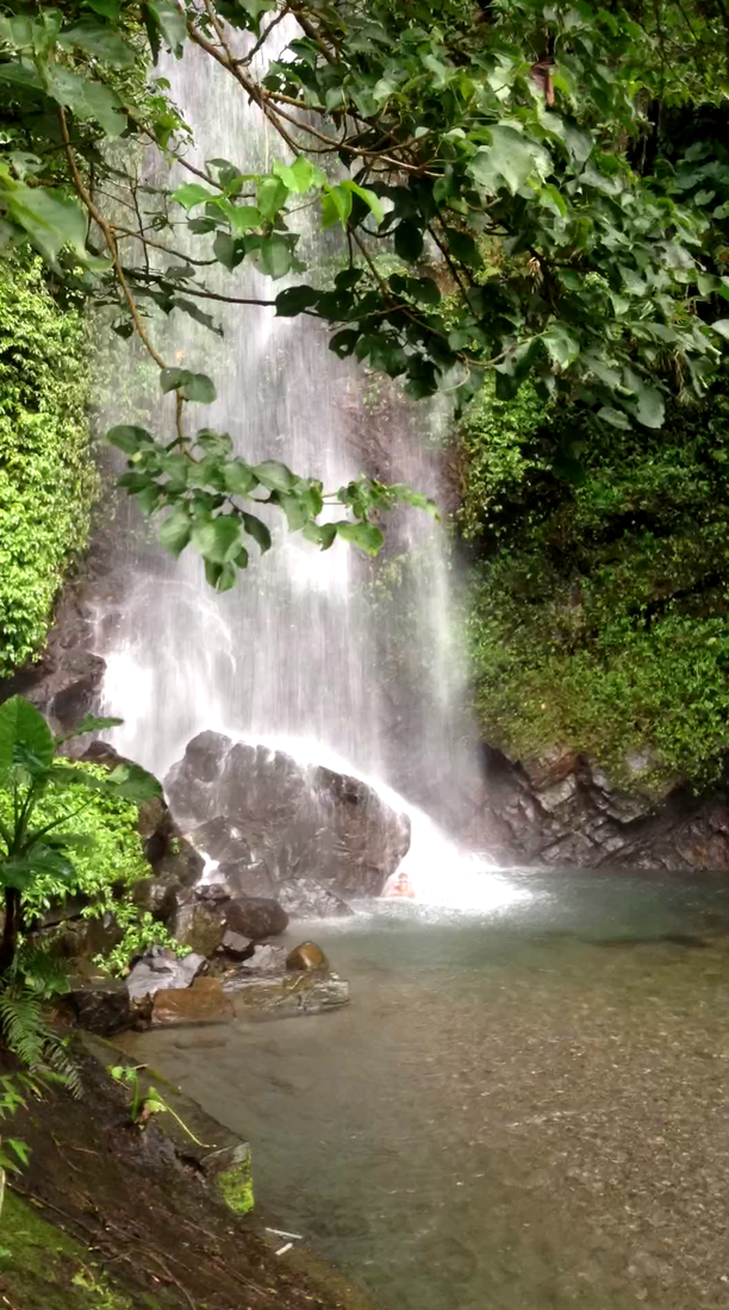
Another area strongly impacted by 2009’s Typhoon Morakot was the Suluopo Hot Spring Area, just south of Baolai. Resident volunteers have reopened an old-trail section originally blazed over 40 years ago to bring mineral-spring waters down the mountainside, in a protected forest area called Special Zone 59. The section is about 1km long and visitors go amidst longan, aiyu fig, plum, and other types of trees, and among butterflies and fireflies in numbers when in season. The “Suluopo Special Zone 59 Eco Trail” is low-impact; for example, steps are made of tied-together bamboo poles and access is limited to 80 people daily.
Entertainment in the village
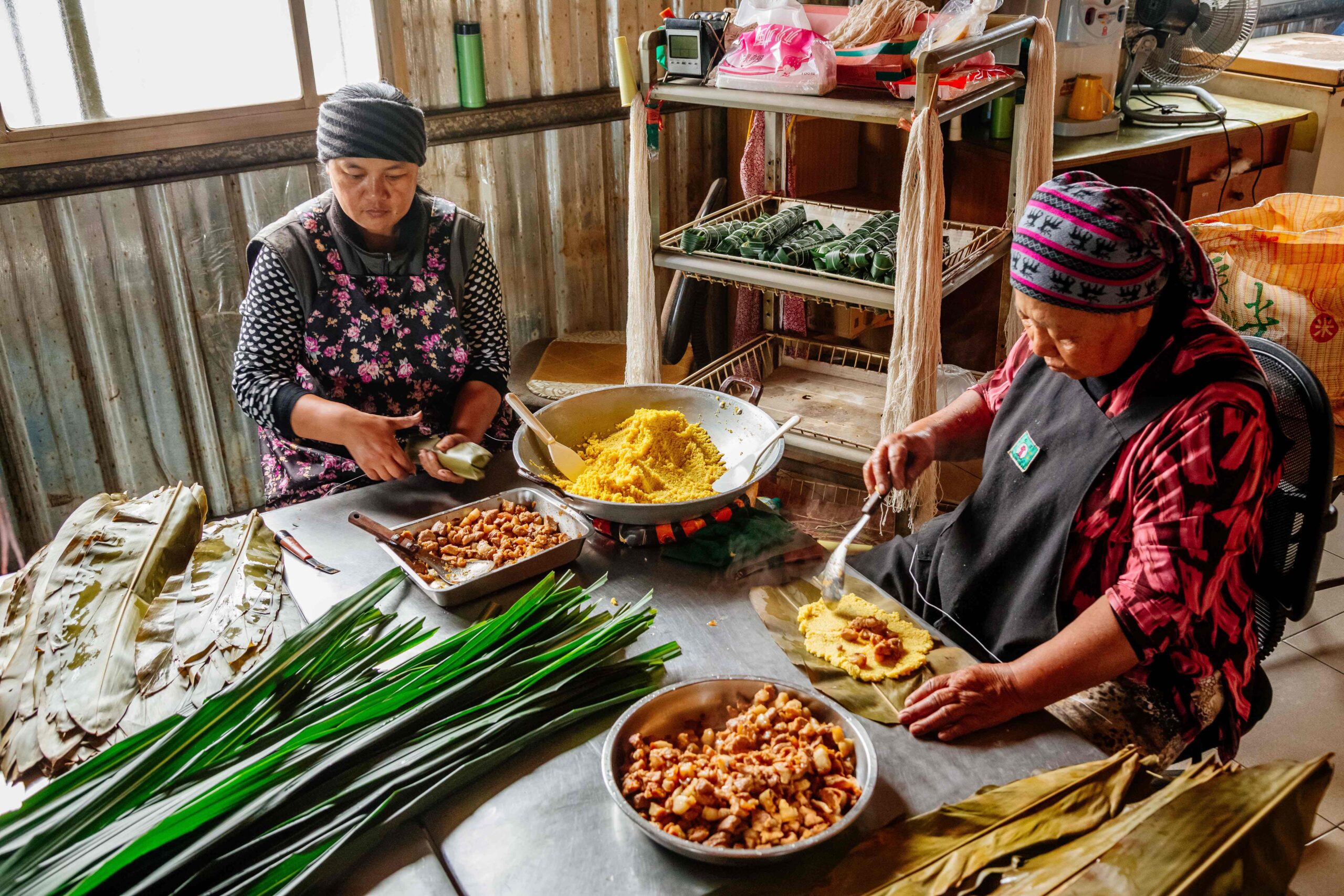
Traumatized by Typhoon Morakot in 2009, their settlement severely damaged, members of the Shezaijiao community in the Baolai area quickly rallied, rebuilding a damaged warehouse to give local people, especially the elderly, a place to gather, share, give each other strength, and start rebuilding the local economy – christening it the “Shezaijiao Cultural Sharing Space.” Travelers are warmly invited to take part in the many DIY sessions now offered, having fun and learning about local cultural life while baking bread (and pizzas) in the hand-built brick oven, firing pottery pieces in the gas kiln, dyeing clothing and other practical items using traditional natural-material dyes, etc.


Add a review